


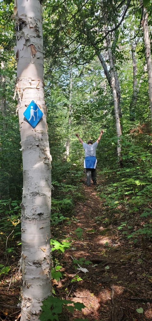
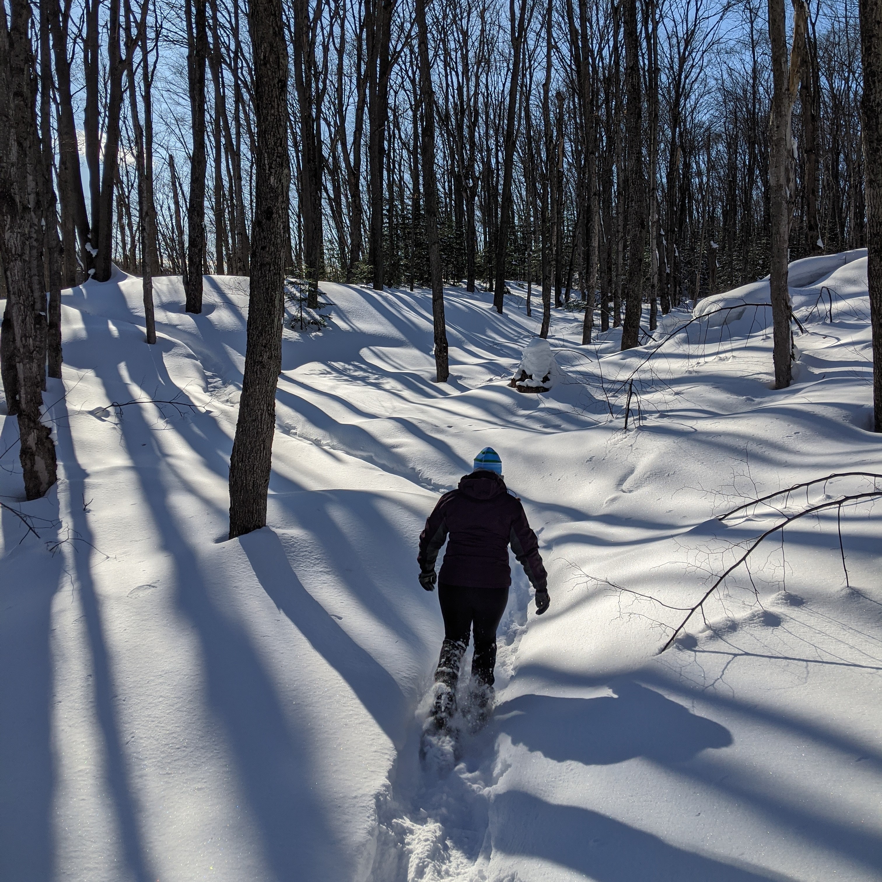
 Wawa in the heart of Superior North is surrounded by some of the best hiking opportunities anywhere for the novice and experienced backpackers. Whether your interest is scenery, waterfalls, flora and fauna, history, or our many local gems, there are plenty of possibilities for day trippers, backpackers and the winter enthusiasts.
There are so many trails to list around our community. Created and maintained by volunteers, this network of trails will surely keep you interested while you enjoy the views only shared by the few that venture out.
Listed below are some of the most popular ones enjoyed by locals and visitors alike.:
For information on many more, smaller trails, please contact the Department of Community Services and Tourism.
Lake Superior Provincial Park just south of Wawa on Highway 17 is home to 11 trails that let visitors explore the variety of landscapes that draw people back year after year, including;
Agawa Rock Pictographs |

Generations of Ojibwe recorded their dreams and spirits in red ochre paintings at this sacred site. The trail is short, but rugged, descending through rock chasms and broken boulders. The Pictographs are accessed from a rock ledge at the edge of Lake Superior and can only be viewed when the lake is calm. The site is open from mid-May to mid-September. Caution is advised when venturing onto this rock ledge due to its slope and the unpredictable nature of Lake Superior and its wave action. For more information refer to the Agawa Rock Pictographs brochure.
Moderate; 0.5 km (0.3 mi) loop; .1/2 - 1 hour |
Awausee |
|
Climb the Awausee for a bird’s-eye view of the Agawa Valley and Lake Superior. This demanding trail starts at the base of Agawa Mountain and follows an old logging road before veering uphill along a ravine. The first lookout (45 min return hike) offers a view of the lower Agawa River Valley and Agawa Mountain. Continue climbing through maple forests to a series of lookouts, 200 metres (650 ft.) above the Agawa Valley. Descend along the creek to join up with the old logging road and back to the trail’s beginning.
Demanding; 10 km (6.2) loop; 4 - 6 hours |
Crescent Lake |
|
Beginning at Crescent Lake Campground the trail takes you through a forest of Yellow Birch which is at least 80 years old and century old pines. You’ll pass by Crescent, MacGregor and Mudhole Lakes, part of the Crescent Lake Canoe Route. This is an ideal hike for families and nature enthusiasts.
Easy; 2 km (1.2 mi) loop; 1/2 - 1 hour |
Coastal |
|
The trail ascends and descends over cliffs and rocky outcrops and crosses beaches of boulders and driftwood. Use extreme caution when hiking this difficult terrain. The rocks can be very slippery, especially when wet with dew, fog or rain. Windblown trees may obstruct the trail. Blue, diamond-shaped symbols mark where the trail enters forested areas. Rock cairns mark exposed sections. Generally, the trail hugs the coastline. If you lose the trail, continue along the shore and eventually you will find the trail again. Gargantua is the main access point for the Coastal Trail. The 14 km (8.7 mi) gravel road from Highway 17 to the parking lot at Lake Superior is rough so allow 45 minutes.
Very Demanding; 65 km (40 mi) linear; 5 - 7 days (entire trail) |
Gargantua |
|
Gargantua North: (Note: the above distances are one-way only; return along the same routes to Gargantua Harbour.) Gargantua South: Very Demanding South of Gargantua, the Coastal Trail is extremely rugged and very demanding. Between Gargantua and Rhyolite Cove the trail climbs over 80 metres (260 ft.) to spectacular vistas over the lake. The park’s geology is most dramatic on the coast where waves have exposed the rock shoreline. Rhyolite and Beatty coves are particularly interesting. Along the way, sand and cobble beaches are nestled in coves, providing shelter for campsites. All trail information source: Lake Superior Provincial Park |
Nokomis |
|
The Nokomis Trail is ranked among the top five-day hikes in the country, according to Lonely Planet’s “Discover Canada” guidebook.”
Moderate; 5.0 km |
Orphan Lake |
This diverse trail passes through hardwood and evergreen forests, including an area burned in May 1998. Near the end of the burn there is a side trail (linear) climbing to spectacular lookouts over Lake Superior. A pebble beach on Lake Superior marks the half-way point, where there is a junction with the Coastal Trail. To complete the Orphan Lake Trail, follow the Baldhead River upstream, past the waterfalls. The trail then climbs to the east shore of Orphan Lake before joining with the trail back to the trailhead.
Moderate; 8 km (5 mi) loop; 2- 4 hours |
Peat Mountain |
|
Access the trail from the Rabbit Blanket Lake Campground, near campsite #30. An alternate access point is located near campsite #49. Climb 150 metres (500 ft.) through a mixed forest to the top of Peat Mountain, overlooking ridges and valleys formed by glacial activity. On a clear day you can see Michipicoten Island, 55 km (34 mi) to the west, out in Lake Superior. There is a side loop to the Foam Lake Lookout, a 45-minute return hike, or stay on the main trail descending to Foam Lake. There is one backcountry campsite at Foam Lake.
Demanding; 11 km (6.8 mi) loop; 3 - 5 hours |
Pinguisibi (Sand River) |
|
Pinguisibi is the Ojibwe name for “river of fine white sand”. This river is an ancient travel route used by the Ojibwe as they hunted, fished and trapped northwards into the interior. The first waterfall is a short hike upstream. The trail continues along the Sand River, past two more waterfalls, rapids and quiet sections of the river. The trail ends near portage 28 of the Sand River Canoe Route. Return along the same route.
Easy; 6 km (3.7 mi) return, linear trail; 1½ - 3 hrs |
South Old Woman River |
|
Moderate; 2.5 km (1.5 mi) loop; 1- 2 hours |
Towab |
|
The trailhead is located 3.5 km (2 mi) along the Frater Road. The hike to Agawa Falls and return is recommended as an overnight trip. There are several campsites along the way. Much of the trail is alongside the river, however there are several steep ascents and descents. Shorter hikes can be taken to Burnt Rock Pool (moderate; 2 - 4 hours return) or further upstream; retrace your steps to return. At the turn of the century, visitors were often guided by Towabanasay (Tow-a-ban-a-say), often called Towab, an Ojibwe guide who held the hunting rights to a 1,300 square kilometre area which included the Agawa River. The trail ends at Agawa Falls, one of the highest waterfalls in the park (25 metres; 82 ft.)
Very Demanding; 24 km (15 mi) return, linear; 8 - 14 hours |
Trapper’s |
|
Following the shoreline of Rustle Lake, the trail includes two viewing platforms and a floating boardwalk, where you can watch for wetland wildlife such as beaver, otter, marten, Great Blue Heron, and moose.
Easy; 1.5 km (1 mi) loop; 45 min. – 1.5 hours |
 Several access points make it possible to spend one or several days hiking the Coastal Trail. Access points are located at: Agawa Bay, Sinclair Cove, Katherine Cove, Coldwater River, Orphan Lake Trail and Gargantua Road. The Park Map is recommended for those hiking the coast.
 Access the trail from the Old Woman Bay Day-Use area. Climb through the lichen-draped boreal forest to scenic lookouts. You may be able to see the face of an old woman immortalized in the cliff, rising 200 metres (650 ft.) above Lake Superior. The final descent is steep.
 Access the trail from Rabbit Blanket Lake Campground. While much of the trail is easy, there are sections of uneven footing and some rock hopping to cross the river. A variety of ferns and moisture-loving plants grow on the cool damp forest floor along the river.
Big Lakes, Big Memories
Welcome to The Municipality of Wawa, One of Ontario's Premier Four Seasons Destinations.